I’ve been trying to cobble together the route that we took through the mountains based on google maps, pictures, and my iPhone’s “Steps” app, which miraculously tracked how many steps I took even though my phone was on airplane mode, out of range of any wifi, and across an ocean from Sprint. We didn’t follow the planned route (which I have information about/names of towns) due to snow conditions and also lack of poncho conditions, so I’m guessing somewhat.
Also, I mostly remember the two-syllable villages.
I think on the second day our lunch stop may have been at Tizi n’Tamatert (Tizi being the word for “mountain pass”), and after lunch we went through Ikkiss and then down into a valley to spend the night…maybe Tamatert or Ait Souka?
Day three we hiked eight hours: up one mountain, down that mountain and back through Taddert, which is near Imlil (where we spent the night on our first day), then up another mountain, passing through Matate on our way to a magical plateau, which might have been Imi Ourhlad? I’m fairly certain we spent night three in the foothills in the village of Asni. Click through for pictures:
2017-03-21 09.04.59
Mountains in the morning...
2017-03-21 09.30.40
And still in the morning. This would have been early on our walk.
2017-03-21 10.10.33
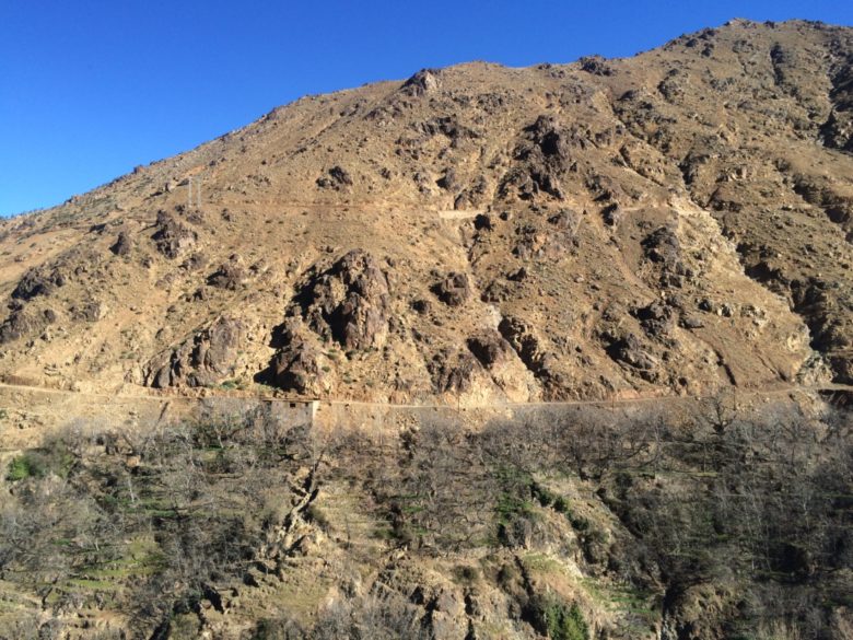
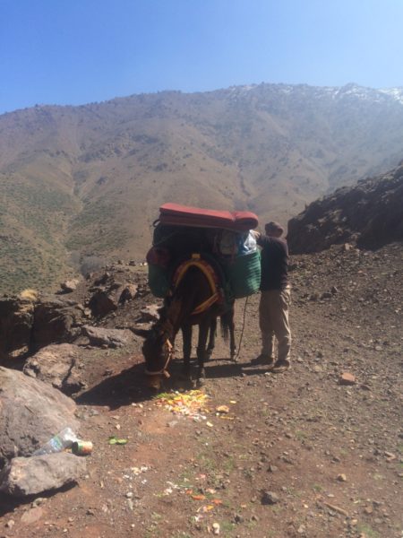
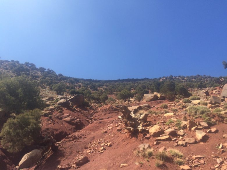
Top of the first one...how long until lunch? Two hours.
2017-03-21 11.04.37
2017-03-21 11.16.58
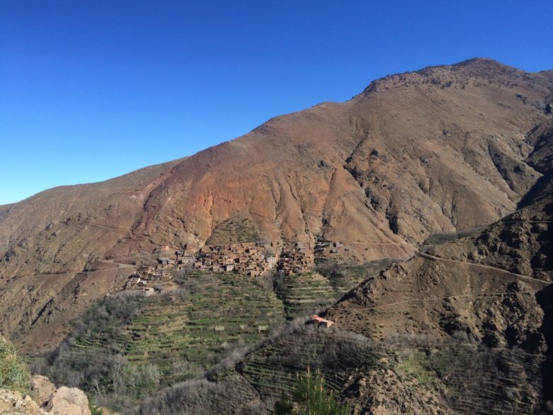
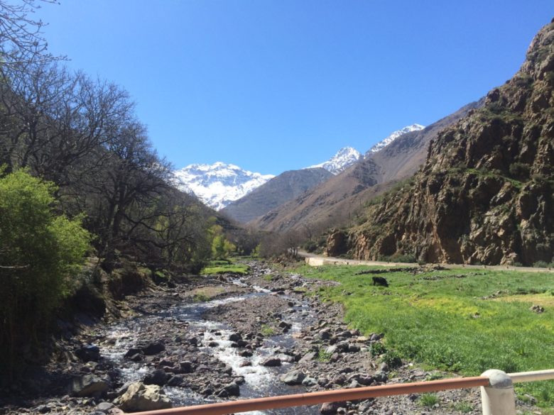
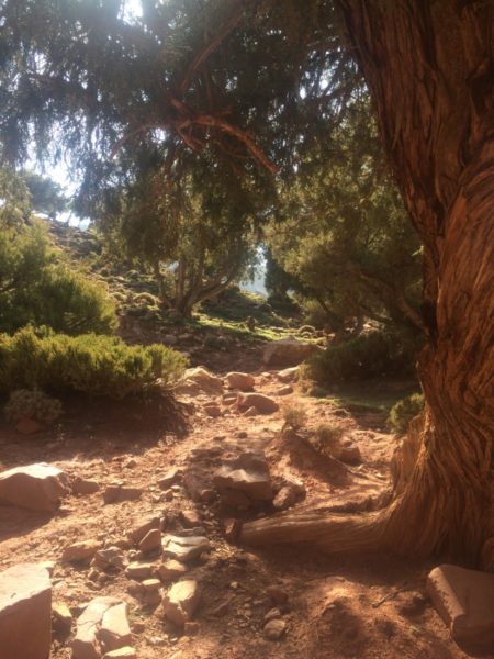
I thought I recognized the creek; it's the spot where we first met Ibrahim and Mohammed on Day 1.
2017-03-21 13.48.59
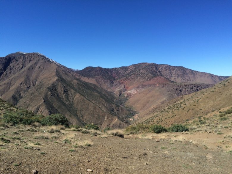
Jacqueline waiting above Matate.
2017-03-21 14.09.28
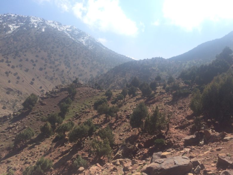
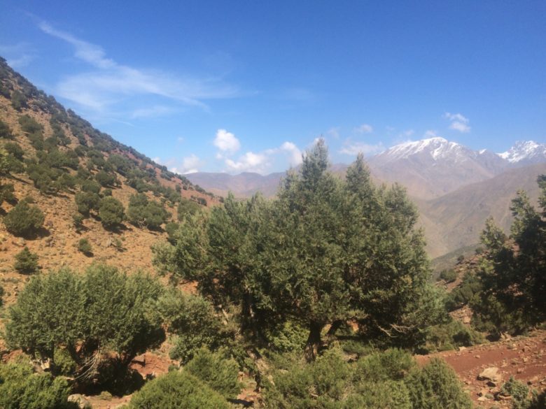
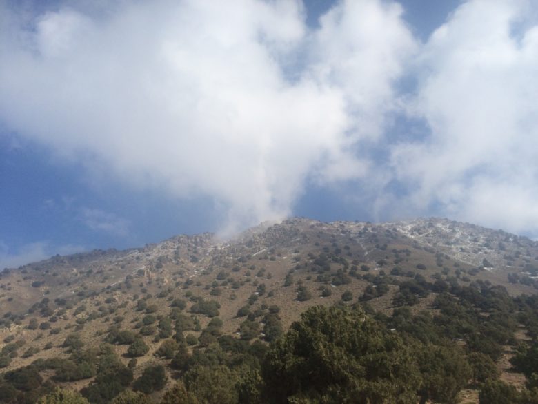
As we got higher we saw more and more juniper bushes.
2017-03-21 14.19.12
2017-03-21 14.26.45
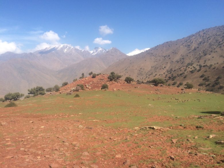
Once we neared the plateau it was straight out of Tolkien.
2017-03-21 14.33.11
Some of the juniper trees were hundreds of years old.
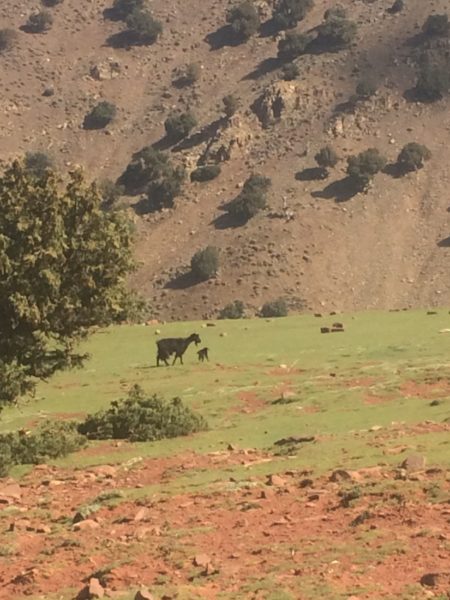
2017-03-21 14.56.08
This is a TWO-HOUR-OLD baby goat.
2017-03-21 14.56.49
Final moments at the plateau
2017-03-21 15.29.34
Scrubs
2017-03-21 15.29.44
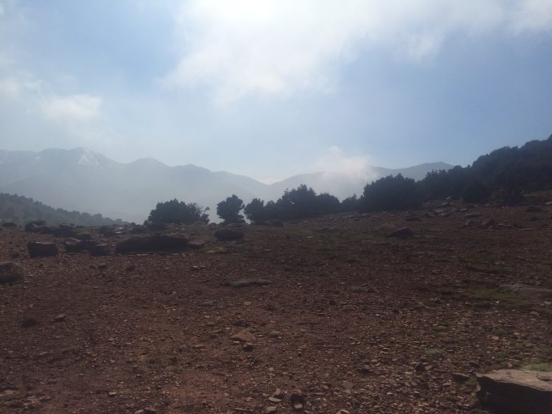
As we started down the mountain it grew misty...
2017-03-21 16.20.52
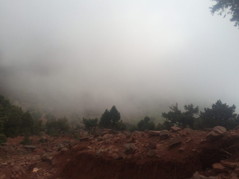
...and mistier.

2017-03-21 16.33.32
After the purple rocks of day 2 I was happy for the orange rocks of day 3.
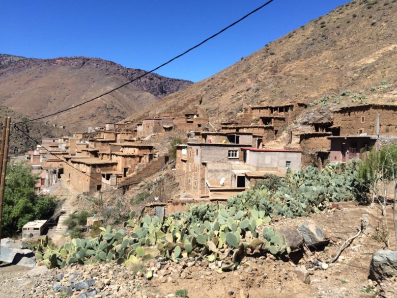
2017-03-21 17.00.38-1
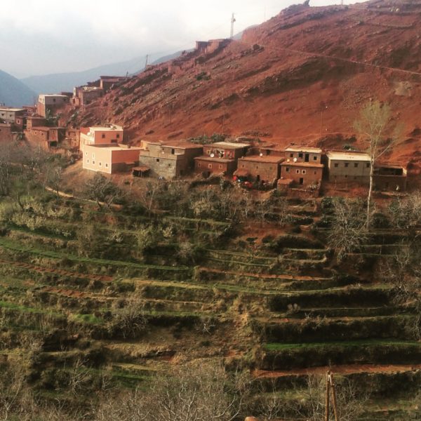
The village that may or may not be Asni
2017-03-21 17.05.37
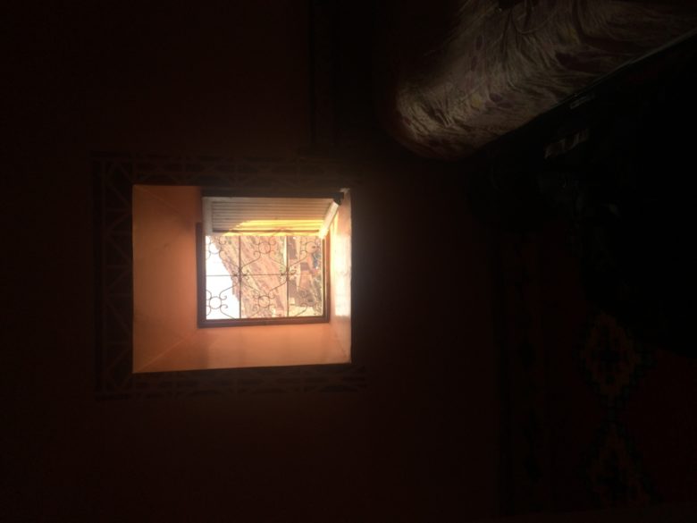
A deep-set window to the cold. We watched Rocky II at this gite.
2017-03-21 17.11.25
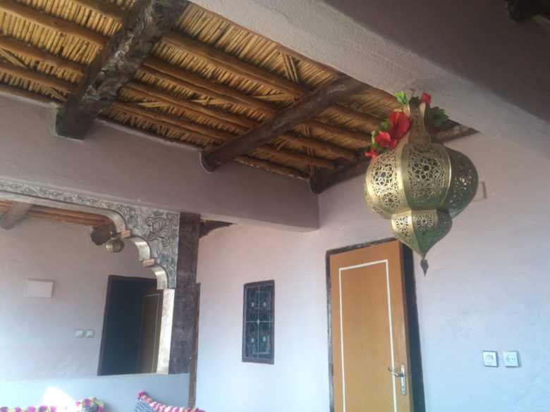
Nice terrace
2017-03-21 17.22.48
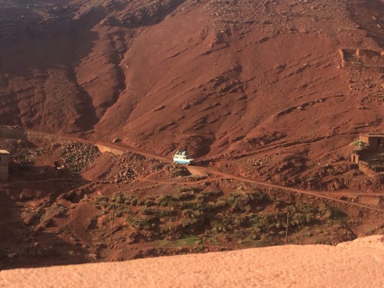
This car was having no end of troubles.